equidistante projectie
Bij de equidistante of afstandsgetrouwe cilinderprojectie worden de breedtegraden afstandsgetrouw verticaal uitgezet. Het resultaat is een rechthoekige kaart met een orthonormaal assenstelsel.
Een dergelijke kaart is eenvoudig te construeren en werd reeds bedacht ca 100 n.C. door Marinus van Tyrus.
Ze ziet er uit als een cilinderprojectie maar is het strikt genomen niet. We spreken daarom van een oneigenlijke cilinderprojectie. Versleep je in onderstaand applet het rode punt, dan zie je dat de kaart geen eenduidig projectiecentrum heeft. Onderaan zie je een wereldkaart volgens deze projectie.
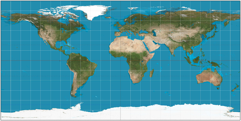
In the equidistant cylindrical projection latitudes are drawn vertically distant-true.
The result is a rectangular map with a orthonormal coordinate system.
Such a map is easy to draw and was invented as early as 100 a.C. by Marinus of Tyrus.
It looks like a cylindrical projection but strictly spoken it isn’t. Therefore it's called an improper cylindrical projection. If you drag the red point in the applet below you can see there isn’t one single defined projection centre.
At the bottom you can see a world map according to this projection.
equidistante cilindrische wereldkaart